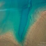
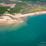
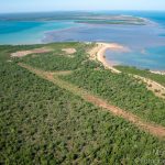
Ultralight Flight – Bynoe Harbour – Crabclaw to Dundee via Indian and Bare Sand Island
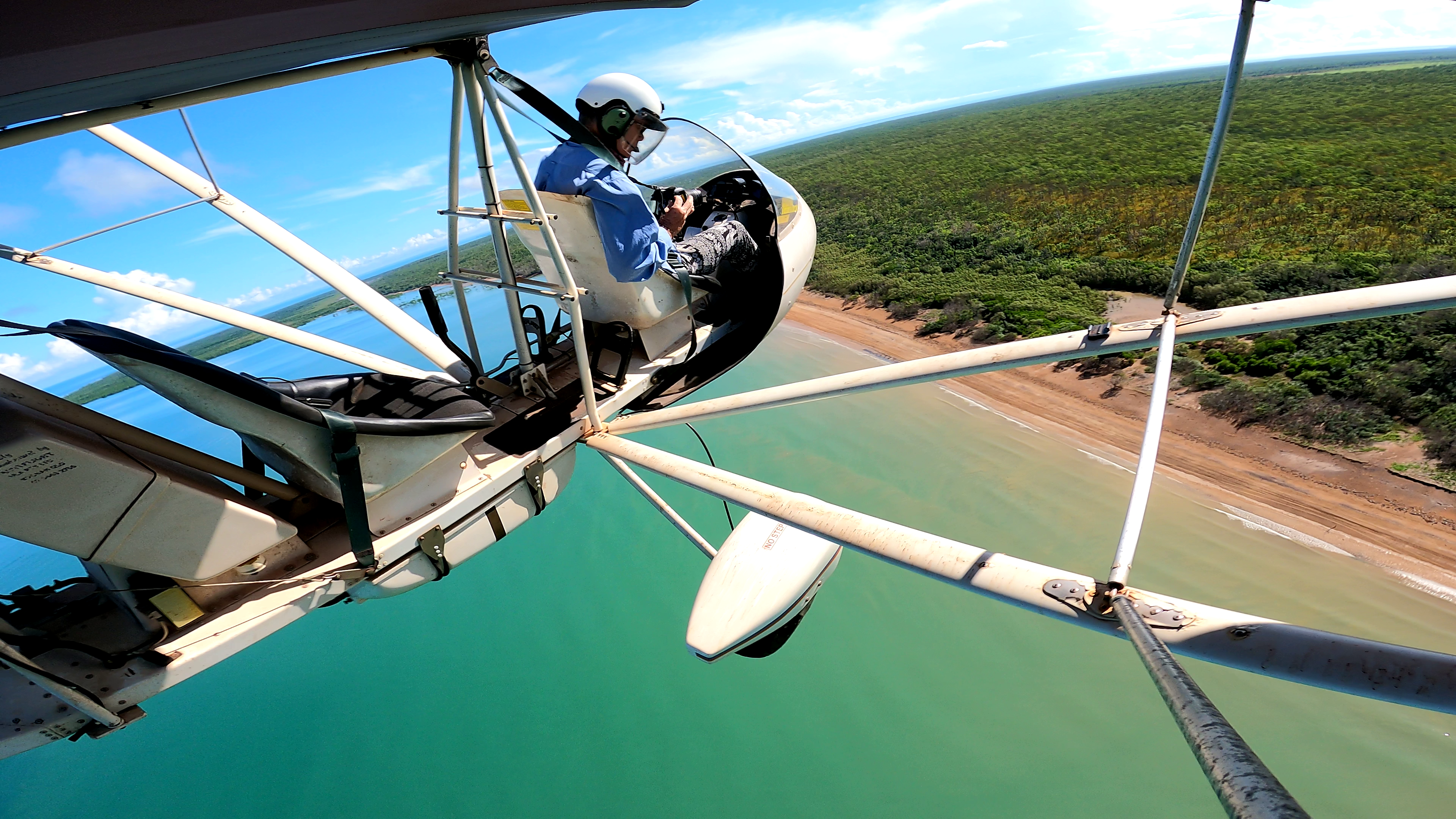
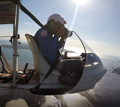
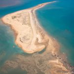
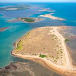
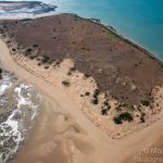
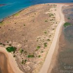
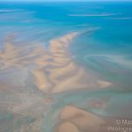
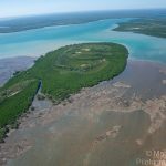
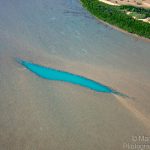
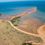
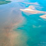
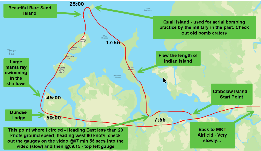
Okay, this is my longest (recorded) and slowest flight yet… At one point off the Eastern end of Indian Island I tracked further east to get a photograph of the entire island’s length, my ground speed was about 15kts. As I turned west to track up the island, suddenly my ground speed was 90 knots.
Let me include some facts about the locations in and around Bynoe Harbour. Video and photo album below.
Bynoe Harbour, located to the southwest of Darwin Harbour and the Northern Territory’s capital city of Darwin, is a fascinating place with a rich history and vibrant ecosystem.
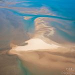
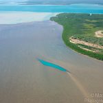
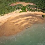
Named after Benjamin Bynoe, a surgeon and naturalist who served on HMS Beagle on its third voyage. The harbour is a popular recreational fishing area. It’s also home to the Indian Island Conservation Area. The harbour is relatively shallow, with much of its area much shallower and drying at low tide. It’s a region of unspoiled beaches, and many low-wooded islands surrounded by clear water, rocky headlands, and sandy tidal flats. Here are some interesting facts about Bynoe Harbour:
- Sister Harbour: Due to its proximity and similarity in size and habitat to Darwin Harbour, Bynoe Harbour is often referred to as a “sister harbour” to Darwin Harbour.
- Islands and Reefs: Bynoe Harbour is home to several islands and drying reefs inside and outside, making it considerably more interesting for boaters than Darwin Harbour.
- Pristine Habitat: The habitat of Bynoe Harbour is still pristine and has so far escaped having industry on its shores.
- Fishing: Fishing is a popular activity in Bynoe Harbour. The fish caught in the harbour include barramundi, trevally, queenfish, schnapper, blue and threadfin salmon, barracuda, mangrove jack, black jewfish, shark, grunter, cod and others.
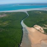
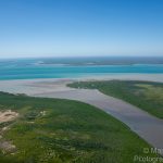
- Mangrove Forests: Most of the harbour is lined with mangrove forests, providing a rich habitat for various stages of marine life.
- Tidal Movement: The tidal movement in Bynoe Harbour reaches a considerable 8 metres.
- Wilderness Escape: As a travel destination, Bynoe Harbour is a great wilderness escape. It’s a region of unspoiled beaches, and many low-wooded islands surrounded by clear water, rocky headlands and sandy tidal flats. Apart from the well-known Crabclaw Island Fishing Resort where I departed from, across the harbour from the resort are a large number of fishing huts established by long-term Territorians. While I suspect their status is temporary, some have been there for decades.
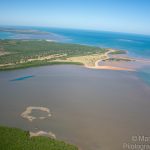
Indian Island: Located within Bynoe Harbour, the full extent of Indian Island is occupied by a protected area called the Indian Island Conservation Area. On the Cox Peninsular side of Bynoe Harbour is one of Paspalis’ Pearl farms. The long ropes holding the frames for the pearl-producing oysters can be seen as I fly over the northwestern reaches of the harbour.

The Grose Islands, located at the mouth of Bynoe Harbour, have a rich history and are a haven for wildlife. Here are some interesting facts:
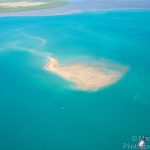
Bare Sand Island: Also known as Ngulbitjik, is in fact a bare sand island with just one tree on it. This island, also known as Njulbitjlk, is an important Australian nesting ground for Flatback and Olive Ridley turtles. Excursions to the island offer visitors the chance to witness these magnificent creatures in their natural habitat. Researchers have used a technique dubbed “turtle rodeo” to capture and tag turtles with satellite trackers to pinpoint where they travel. Due to the critical status of some turtle species, there are ongoing efforts to protect and study them. This includes work by local rangers and scientists who are investigating the impact of climate change on turtle populations.

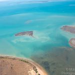
Quail Island, next to Bare Sand Island was used as a bombing range in WWII by the RAAF and allied forces from 1945 right through to 1979. Today, it’s a place of renewal and revegetation although craters can still be seen. The islands are home to many native flora and fauna as well as native birds. While researching this with the help of a little AI, that managed to get more things right than wrong, I was surprised to learn of a large passenger steamer ship striking a reef off Quail Island on the 9th of October 1881.
Everyone was rescued, including the cargo… which included 54 cases of opium! Clearly, this was before it was considered illegal. Darwin is referred to as Palmerston although Port Darwin carries the Darwin name. Who would have thought a recreational flight over a harbour would provide a historical nugget of information like this? Check out the details yourself.
05 Nov 1881 – WRECK OF THE BRISBANE. – Trove (nla.gov.au)
Dum in Mirrie Island: Part of the Grose Island Group, it has a history of being inhabited by Max and Marie Baumber. I had the pleasure of meeting them both almost twenty years ago. The island is located off the coast of the Northern Territory in Australia in the middle of the Grose Island group, close to Dundee. This island is approximately 7 square kilometres and is located 5km NNE of Paterson Point.
An interesting fact is that about 20 years ago, I once spent a night camping on the island with the famous cricketer, Dennis Lillee and a group of fishing research scientists. I had flown into the airstrip on the island in my ultralight and joined the group for a scientific fish tagging event. Due to fish tagging commitments, he graciously declined my offer of an early morning flight in my plane.
These islands and their surrounding waters provide a unique opportunity to study and appreciate the rich biodiversity of the region.
It wouldn’t be complete if I didn’t include 6 Pack Creek and Crab Claw Island in Bynoe Harbour:
6 Pack Creek: This creek is located in Bynoe Harbour and is a popular access point for fishing trips. It’s about an hour’s drive from Darwin and provides a sheltered trip to Bare Sand Island. The creek is well up and requires at least 3.5m of tide to use the ramp.
Crab Claw Island: This island, also known as Crab Claw Island Resort, is nestled on the water’s edge of Bynoe Harbour. It offers fabulous views across the harbour, a first-class fishing experience, and an abundance of wildlife. The island becomes an island at very high tides only. The resort on the island has elevated beach-front cabins that overlook the resort’s pristine white sandy beach. It also has two refreshing swimming pools, an elevated open restaurant with views across the harbour, a boat ramp, powered campsites, and an opportunity to greet the wildlife up close and personal at feeding times.
This video was taken in 2022 when I was flying out to the island for morning tea. I was landing and saw this crocodile swimming in the harbour right next to the resort, but far enough away from the beach not to be a danger. The things you see when you are flying around. I also do a little cloud-hugging because I can.
History: Crab Claw Island had its beginnings in 1985 when yachtsman and developer, Peter Cantwell, teamed with Maria Pastrikos to develop the airstrip and the resort. It seems the concept was well ahead of its time, but the persistence of the owners and managers since that time has seen the resort continue for 40 years and thrive.
Of course, Dundee with its lodge and boat ramp is another very popular location and rounds out the main fishing destinations for this region.
This is the extra long video of the flight along the map at the top of this blog post. It was filmed late May 2024. The gauges use telemetry data from my GoPro. The software used to create and overlay the gauges is here and was created by a very talented man from Spain.
My brief narrative at the start of the video relates to synchronising the sound on the two cameras so that later I can switch between the two seamlessly by using the initial “bang” to line up the audio. It is a feature in multicam editing in Adobe Premiere Pro and I do it at the start of the video (and normally edit it out). I left it in to show folks that like a clapper board on a movie set, this is how to align the video clips for seamless transition between two cameras. I will insert some chapters into the YouTube video…at some stage.
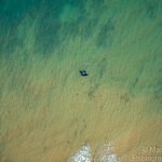
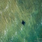
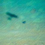
My 1.5 hour flight flew over all of the locations mentioned above… if you know the area, you will be able to see them. I was also lucky enough to see a manta ray frolicking in the water near Dundee. Now that is special.
