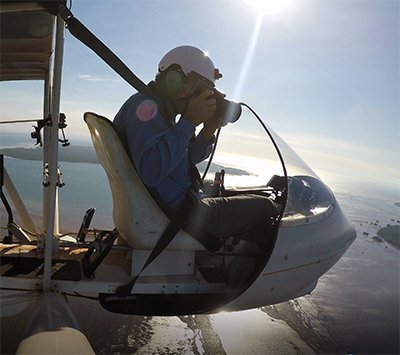
Saved by a World War 2 Airstrip

The monsoon is upon us and because I can’t go flying. It gives me an opportunity to reflect on a flight that we did during the wet season a few years ago.
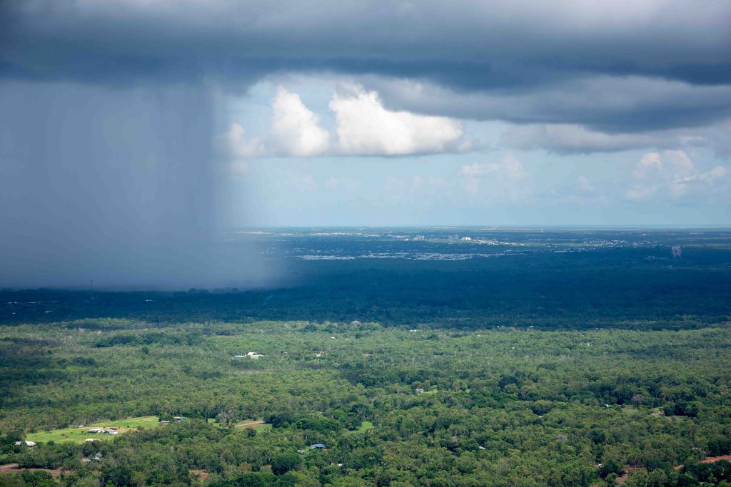
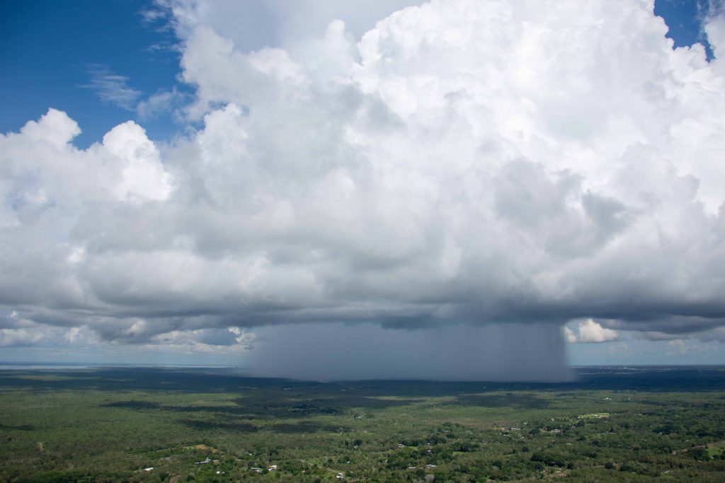
A lot of folks think that flying in the Northern Territory especially in the Top End is best done during the dry season. Their reasoning is that during the wet season with thunderclouds and storms it is potentially more dangerous. Actually the opposite is true. As you can see from the following picture we can clearly see where storms are and being sensible pilots we avoid them. During the wet season the air is normally calmer and wind speed is less than during the dry season when south-easterly winds can bring much more turbulence to flying. Click the photos for larger versions.
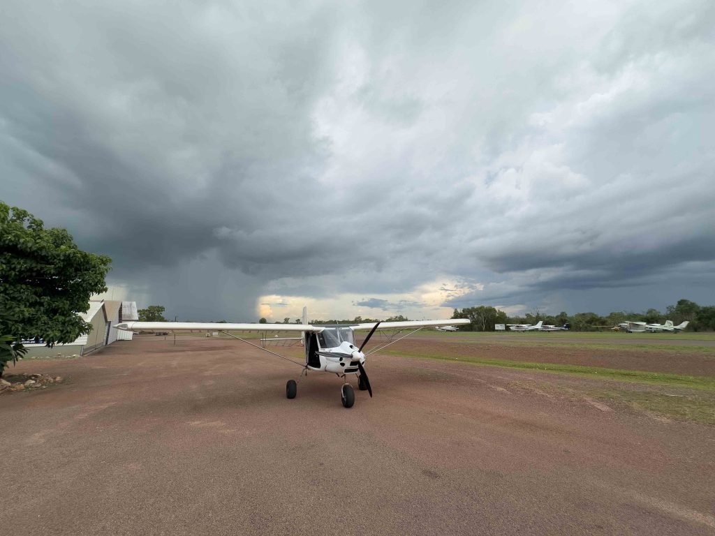

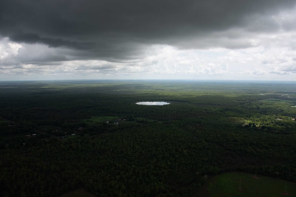
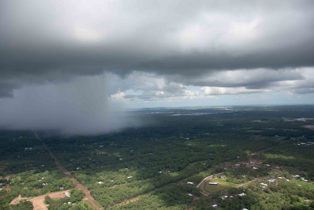
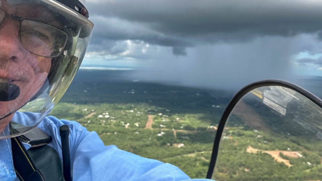
While that is true for almost all cases sometimes there is an exception. This story is about one of those exceptions.
In 2017 on the 17th of December which is the anniversary of the Wright brothers first flight, 2 good friends of mine Greg and Josh headed out early in the morning to a place called Gunn point. I’ve written and posted quite a bit about Gunn point in other posts. It’s a beautiful long beach very close to Darwin and offers a safe environment for scenic flying.
Greg and I fly drifters and Josh flies a trike. Classic ultralight aircraft.
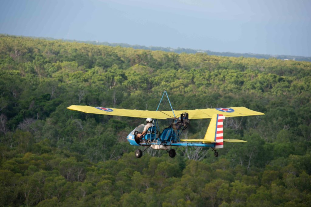
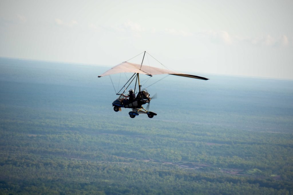
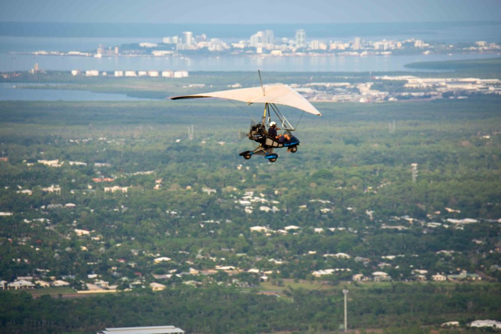
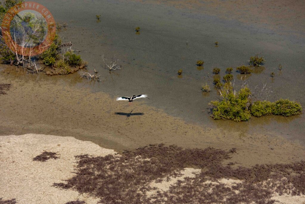
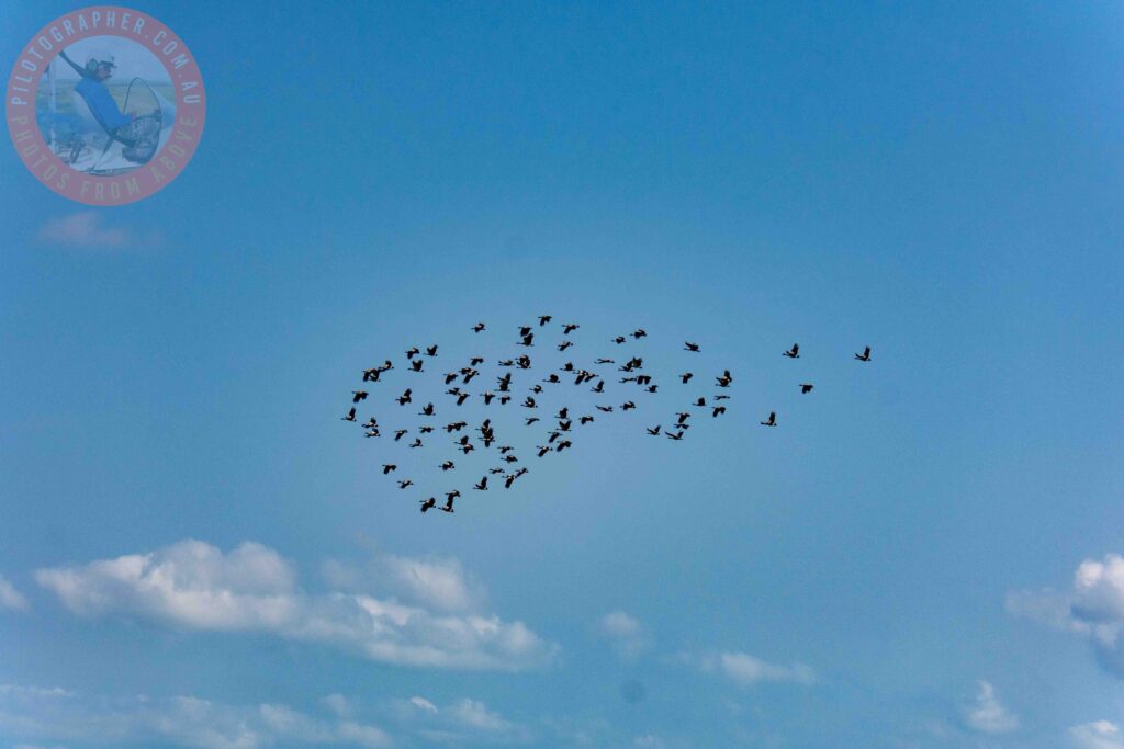
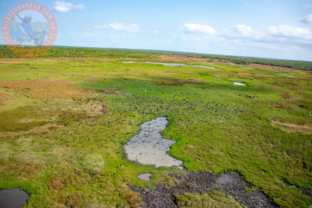
We left MKT airfield flying to the east of Palmerston and Darwin city staying clear of controlled airspace. The weather was fine with just a few clouds in the sky. You can see from these photographs that it was a great day for flying.
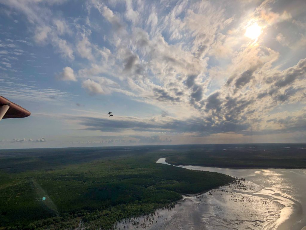
After an hour or so it was time to head back to MKT airfield. As we turned our aircraft around looking towards mkt airfield we notice the skies had suddenly become darker.
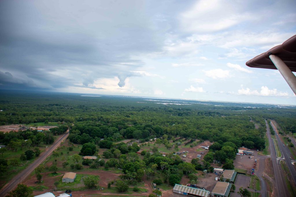
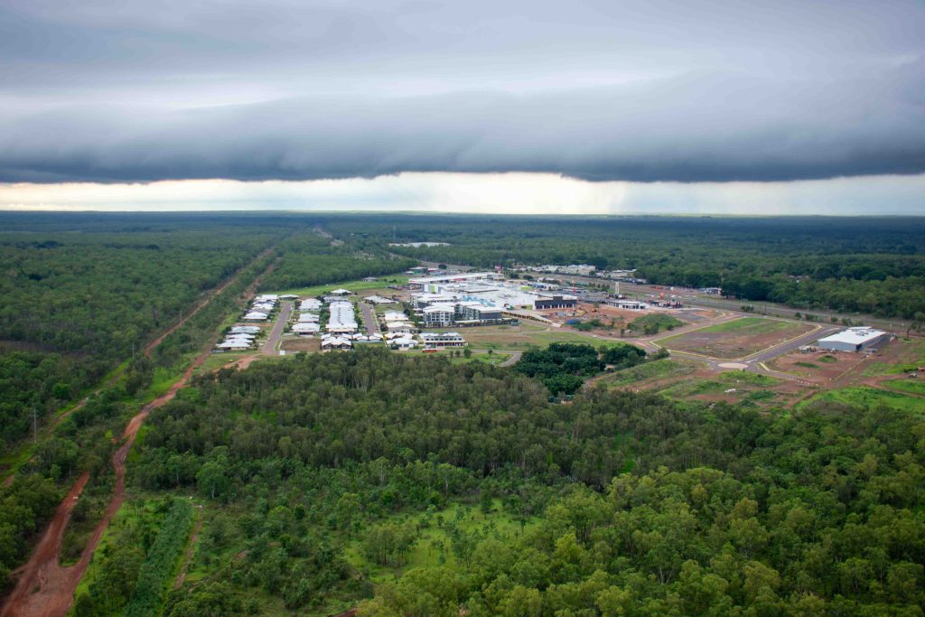
By the time we were overhead the Coolalinga shopping centre the darkness had transformed into a black band with the base of the cloud lower than 500 feet.
The band extended across the horizon effectively blocking our return to mkt airfield.
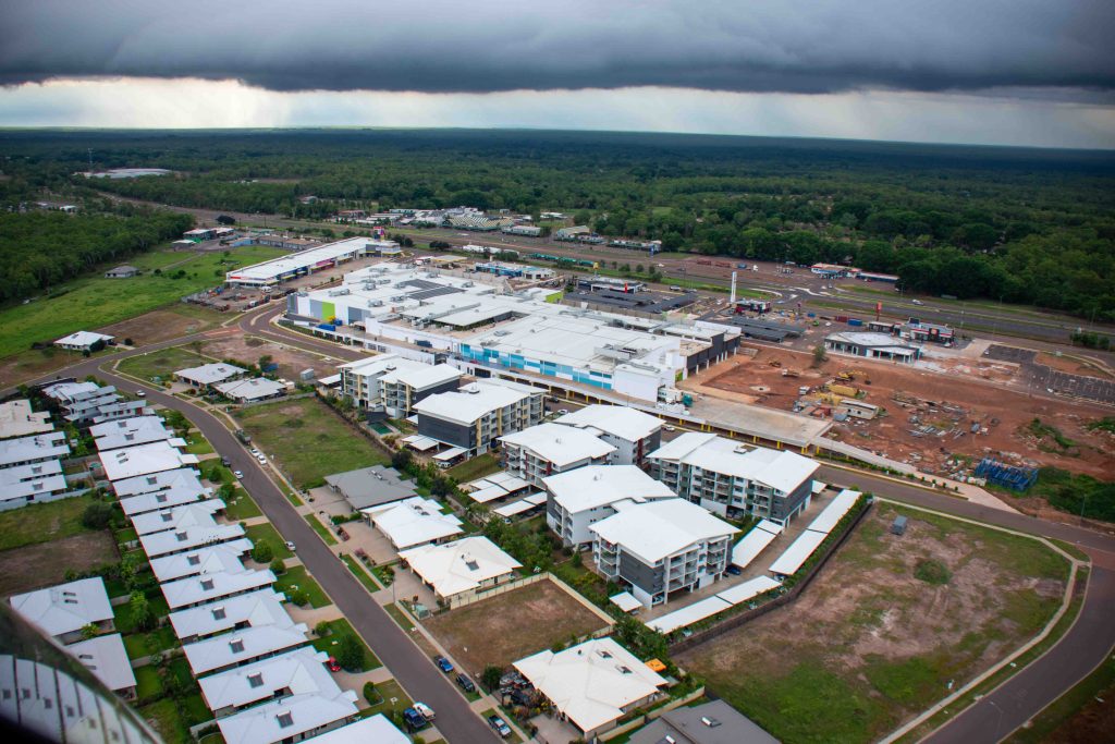
We could risk it and try and punch through the storm front but in our small ultralight aircraft that would have been very foolish.
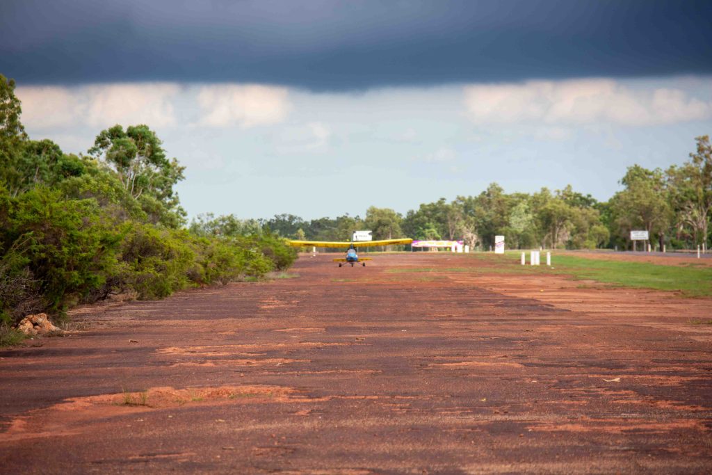
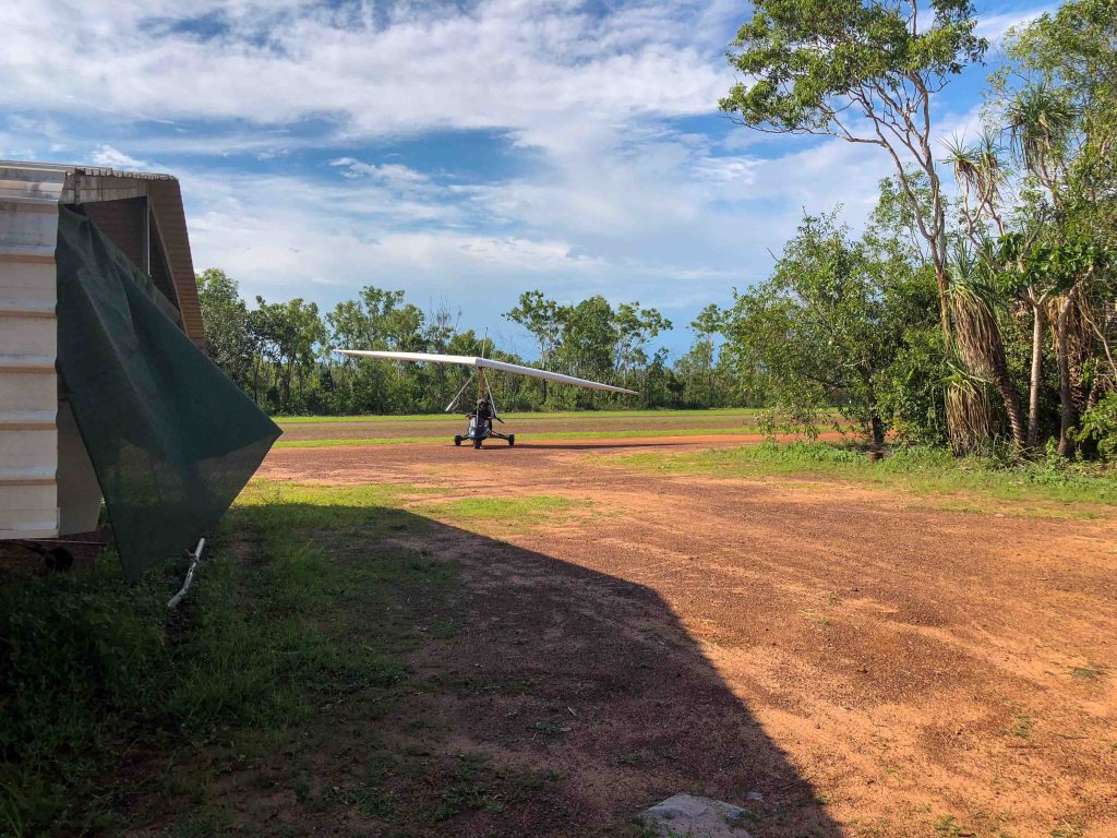
Very close to the Coolalinga shops at a place referred to as the 21 mile is one of many old World War II airstrips that are located beside the Stuart Highway or near the Stuart Highway extending down the track past Adelaide River and beyond. This airstrip is called Sattler Airstrip.
These airstrips, while not maintained are still in reasonable shape for infrastructure that was built over 70 years ago. Although Greg and I had never landed on that particular old World War II airstrip before, we decided it was the best choice for us. Time was against us and we had to get down quickly as the storm front was approaching. Josh diverted to another airstrip further east of where we were.
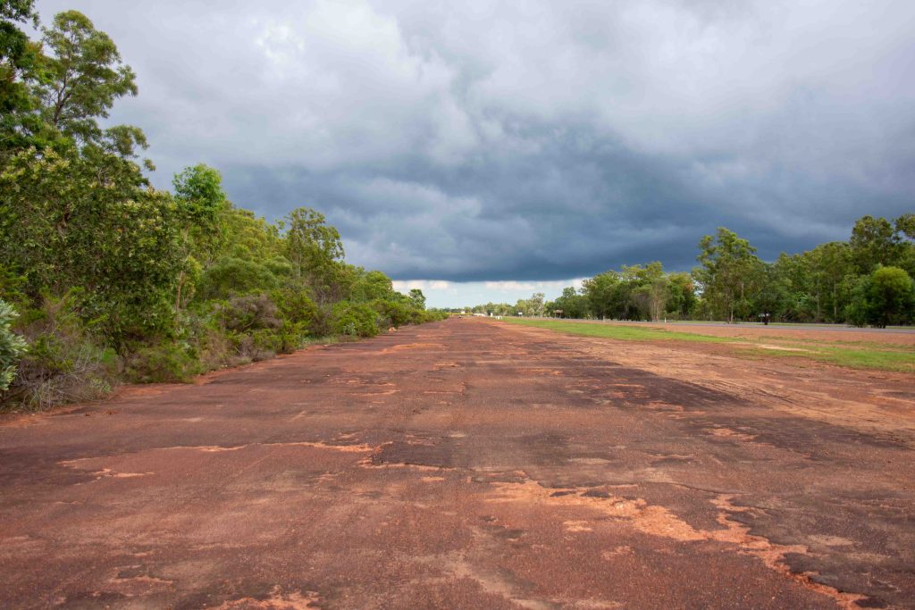
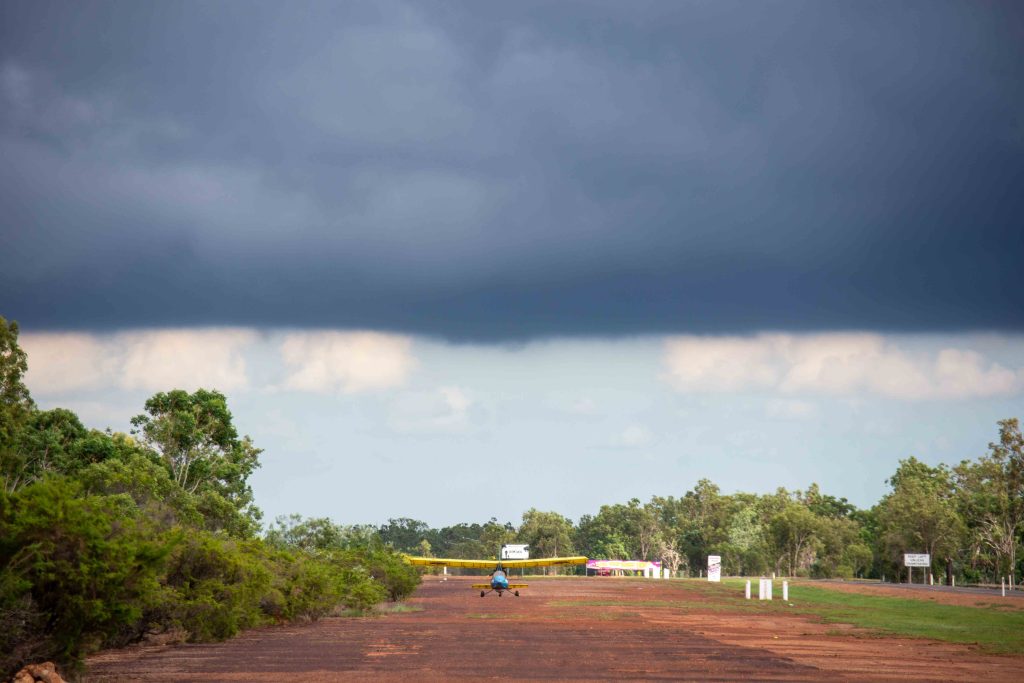
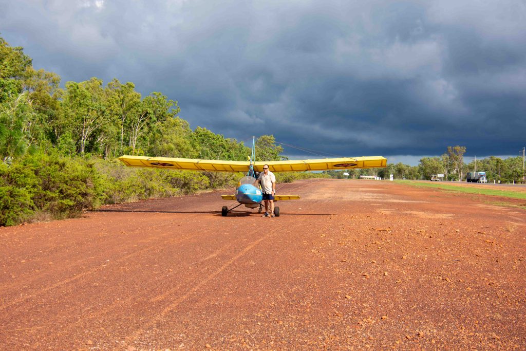

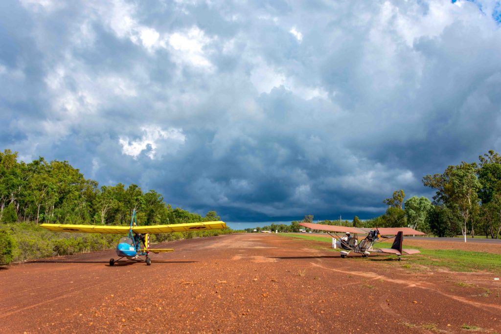
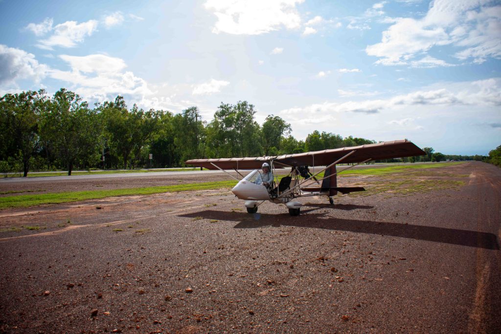

Greg and I didn’t have a chance to leave a respectable 5 minute gap between landing on the airstrip due to the need to get the aircraft down on the ground, but fortunately both landings were quite smooth. The storm front approached and passed over us with little rain but quite a lot of wind. Both of us held down the aircraft as the storm front passed and then dissipated.

Just as we were reflecting on our luck and preparing to take off to make our way back to mkt airfield a minibus suddenly drove onto the old airstrip where we were. A few guys jumped out of the minibus and came over to see a shaking hands and introducing themselves as guest workers at the local crocodile farm that is actually located at the end of Our Airstrip at MKT. Only in the Territory!!
They mentioned that they see us flying over all the time and were keen to get a selfie with the aircraft. Of course we were happy to oblige over great guys who hailed from Vanuatu and it was a real pleasure to meet them.
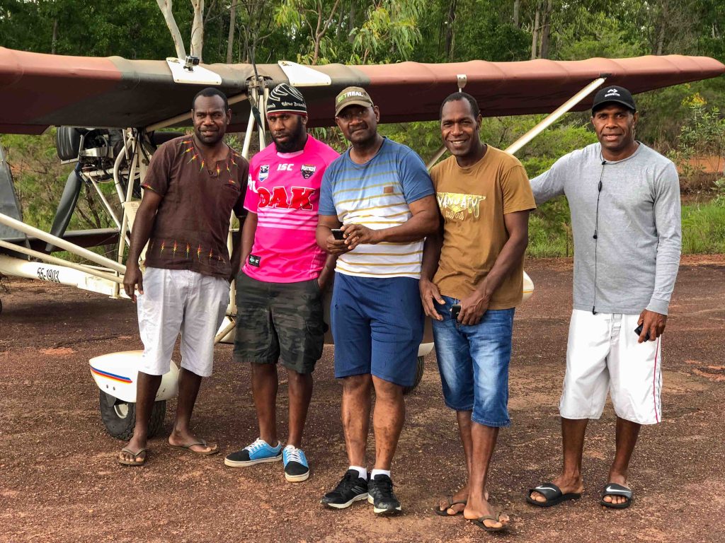
Farewells said and airstrip clear we both took off and returned safely to mkt. We were concerned as to where Josh had ended up and before we had to organise a search party the sound of a two-stroke engine could be heard in the distance as he returned from his location where he had been sheltering from the storm.
Normally when we see storms we can easily avoid them as you can see from the pictures below. They’re very visible and are rain cells or storm cells but when you have a front that extends from one side of the horizon to the other it makes it more challenging.
And this brings me to one piece of training that Casa refers to which is the precautionary inspection of landing areas. I include their pneumonic to help people remember what to look for when carrying out precautionary inspection of a potential landing area.
CASA recommends using the following checklist for the precautionary inspection of an unfamiliar airstrip
- W: wind velocity and direction
- O: obstacles. In the undershoot, field and overshoot
- S: size. Minimum 1,500 ft (450 m) length
- S: shape. Suitable landing direction for current wind
- S: slope. Landing direction
- S: surface. Cultivated? Wet? Rocky? Livestock? Tyre tracks? Ant hills?
- S: sun. Landing into the sun, strobe effect through the propeller
- E: elevation. Key altitudes on altimeter for the circuit pattern
- T: terrain. Will the terrain surrounding the field affect the landing or go-around?
When practising this skill and memorising the checklist, performing it initially along an uninhabited beach at low tide with known hard sand and minimal “negatives” from the checklist above is a good idea and then trying the same practise at one of the old second world war airstrips that are scattered around Darwin like Hughes or Coomalie – Both have additional requirements. Hughes is used by the firebombing water aircraft to replenish water so if there are fires around, they could be around at Hughes and they do fly low. Also Coomalie is privately owned and if you don’t know Richard, maybe stick to Hughes.
Actually Gunn point is a very good place to practice this because at low tide it has wide hard sand beaches with no height obstacles to be concerned about and very few if any people along the many kilometres of beach. This provides a safe location to run through each of the dot points while operating in a safe environment. Should something untoward happen you can of course land on the beach.
So although I’d much rather be flying today, the rainy windy weather gives me an opportunity to reflect on a good flight with friends that although included a little bit of excitement ended well for us mainly because we took a sensible approach.
Finally as you can see from the photographs one of the reasons I love photographing during the wet season is because of the contrast of colours both on the ground and in the sky. Until next time fly safe.
